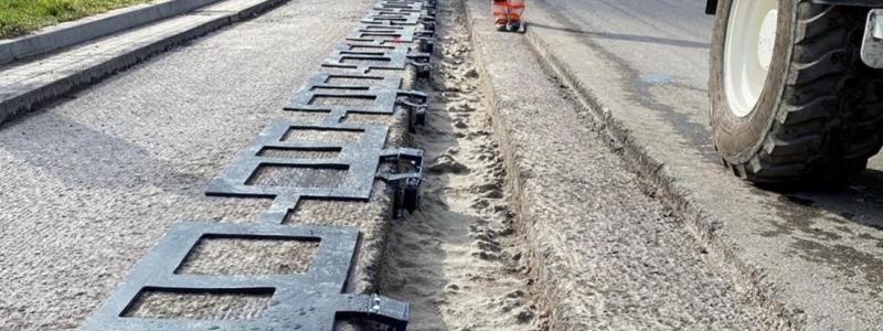


Intergraph has introduced a newly enhanced geospatial solution to enable the efficient production of high-quality map products by U.S. state departments of transportation (DOTs) and military and national mapping agencies around the world.
Organizations rely on Intergraph GeoMedia Map Publisher for enhanced cartographic capabilities and high levels of map production automation to produce series and ad-hoc hard copy maps. The latest version of the product includes significant enhancements to dramatically streamline map collaboration and creation and boost quality assurance, including features that allow multiple users to collaborate on the same map products.
"Since transitioning from traditional CAD workflows to the use of GeoMedia for cartographic production, we have saved 50 percent of the time generating cartography from geographic information datasets, all without losing the original geometry richness,” said Javier Gonzalez Matesanz, deputy director of cartography of Instituto Geográfico Nacional (IGN) Spain. “We are pleased to see that Intergraph continues to expand upon its cartographic production capabilities to further increase both user efficiency and the quality of their map products.”
“The quick, easy production of highly accurate and detailed maps is a key component of the successful day-to-day operation of many transportation and government agencies,” said Teresa Smith, senior vice president of product development for Intergraph’s Security, Government & Infrastructure division. “The new version of GeoMedia Map Publisher includes many important features that increase the ease of use of the product and decrease the time and effort required to create mission-critical cartographic mapping products.”
GeoMedia Map Publisher provides high levels of automation, such as style conflict detection and automatic feature displacement, which reduces map production timelines while maintaining cartographic quality.
The product also manages cartographic data separately from the source data, which is important in enterprise environments in which the source may be owned by other departments and could be read-only to the cartographic group. With GeoMedia Map Publisher, there is now no need to copy and manage multiple versions of the source data for map production. Instead, the source data are linked with the cartographic data so that when changes are made to the source data, GeoMedia Map Publisher automatically determines which cartographic data changes need to be made to publish new editions of the mapping products, creating a much simpler, more streamlined revision workflow.
Written by Intergraph