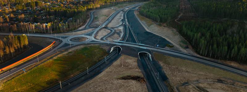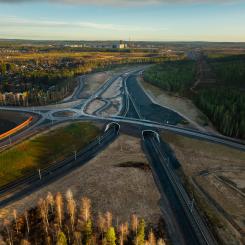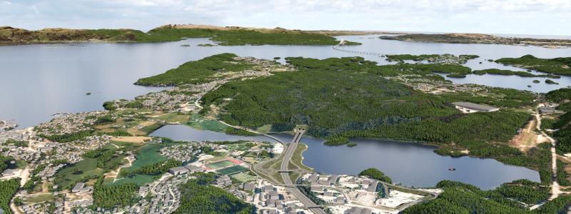


Avenza Systems Inc., producers of cartographic software for Adobe Illustrator, announces the release of Geographic Imagerr 3.0, the latest in powerful software that adds geospatial functionality to Adobe Photoshop.
Geographic Imager enhances the already commanding Adobe Photoshop imaging environment by adding the tools and technology necessary to support geospatial images such as aerial and satellite imagery. In addition to allowing the use of Adobe Photoshop and its powerful native imaging functions such as cropping, transparencies and layer adjustments, Geographic Imager adds the ability to import and recognize common industry raster image formats, automatically mosaic and tile images, reproject and transform images, georeference images based on ground control points and export images with all spatial information intact.